
Explore the great outdoors with onX GPS Map Apps. Discover public and private land boundaries, use innovative Compass Mode for easy navigation, customize your maps, and access detailed 3D and satellite imagery. Ideal for hunting, hiking, and outdoor explorations.
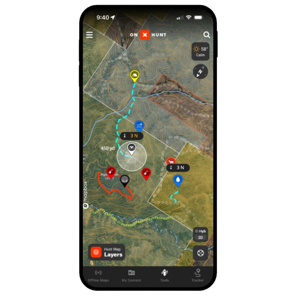

- Land Ownership Information: Easily identify public and private lands with color-coded boundaries and access detailed ownership data.
- Compass Feature: Enhance orientation in the wilderness, essential for tracking and navigation in low visibility.
- Mapping Customization: Create and manage personal waypoints, lines, and tracks for tailored outdoor mapping.
- 3D Terrain Views: Access detailed 3D maps and up-to-date imagery for comprehensive terrain understanding.
- Multiple Basemap Options: Choose from satellite, topographic, or hybrid maps for varied terrain insights.
- Offline Access: Download maps for use in remote areas without cell service, ensuring continuous navigation capabilities.